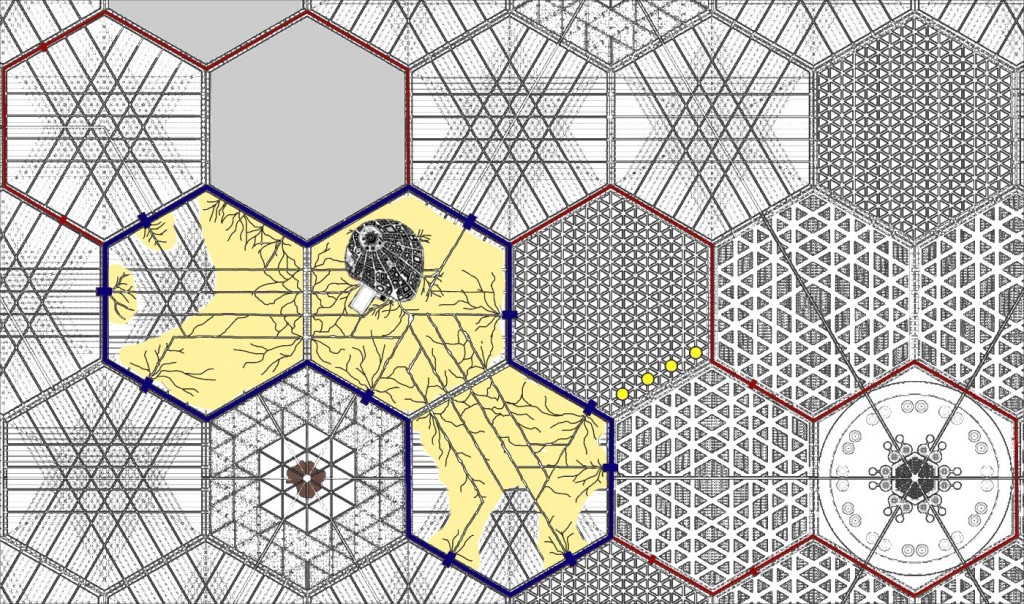
I’ve been working on the map of the city code named Tortuga for the setting sourcebook of the same title and here it is!
Edit: I’ve updated the map, this one is a little more stylized and seems a little more hand made than the first one I posted. Click on the pictures for a larger view.
I need to get a key made for the map to explain what’s going on here. The blue line is the old city walls and are the strongest defenses. The red line is the new city wall. The rectangles on the walls are the location of gates in and out of the city.
The tan is the location of the shantytowns where a majority of the population live. In the center hex of the old city is the Kaloord homes and the Rantaa’ palace. The four yellow circles are the location of fusion reactors that once powered the city.
I need to make sure this shows up in grayscale. The book will be available in color but someone may want to print it out in black and white.
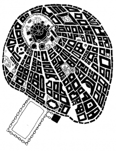
Here’s a close up of the Kaloord district and the palace. Most of the building footprints are actually networks of buildings that are owned by a single family.


 The Free RPG Blog